The Park
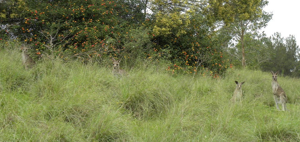
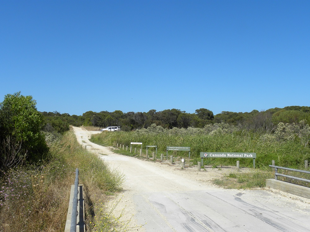
Canunda National Park is large. It is a coastal park and contains sand-dunes, linestone cliffs and dense scrub. It allows recreational activities such as 4×4 driving, bushwalking, bird-watching, fishing and surfing. There is also evidence of long-term Aboriginal occupation of these lands. It was a summer visiting place and there are plenty of shell midden heaps throughout the park.
I would like to drive through the Park but only with at least one other vehicle. We were travelling on our own.
Access
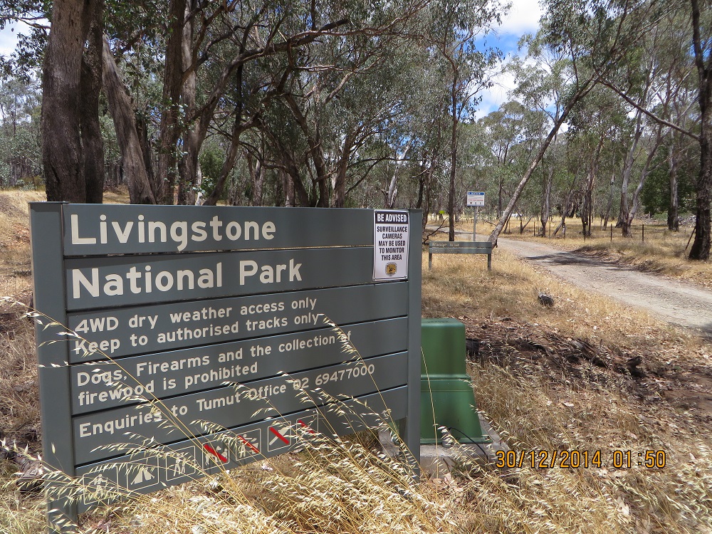
Canunda National Park
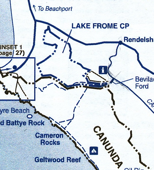
It took us quite a while to find the Bevilaqua Ford. To get to this point travel from Rendelsham. It looks easy on the map but it is not very well sign-posted. My vehicle GPS did not have this point marked. I have taken the map from The Tatler, Edition 12. This excellent publication is free and is available at the usual tourist outlets. It is published by the SA Government agency responsible for National Parks. I activated the National Park about 75 metres into the Park from Bevilaqua Ford. The Park boundary is marked in black dah dit dit. Lake Frome Conservation Park has a blue boundary marked dah dit dit also. So you can see that the Lake Frome Conservation Park holding dissects the Canunda Park where the blue lines are almost joined. In other words it would be very possible to activate the National Park from near the Information Kiosk and then move 75 metres back down the track to the Ford and enter Lake Frome CP land and activate that Park from there. There is a track in Lake Frome CP running on one side of the Lake Frome Park land. along side of the drain.
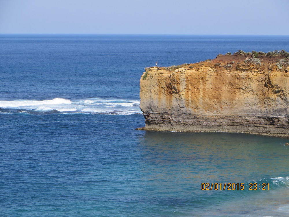
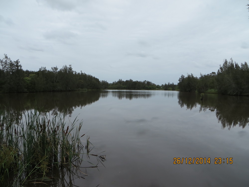
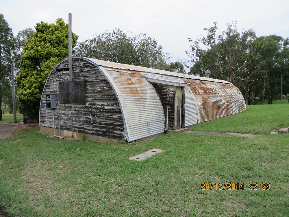
Canunda NP from Bevilaqua Ford JCD photo
Contacts
I had the following contacts beginning at 23:33 UTC: VK1NAM/P2, 7.095, Andrew on VK2/SW-074; VK1DI/P2, Ian on VK2/IL-001; VK3TKK, Peter; VK5EE, Tom; VK3VTH/P3, Tony in the Brisbane Ranges National Park; VK5HCF, Col; VK5FANA, Adrian; VK3XL/P2, at 00:00 UTC, Mike on VK2/ SC-022; VK3TKK, Peter; VK5GJ/QRP, Greg; VK5KLV, Les; VK7WH, Winston; VK5PAS/QRP, Paul, VK5KPR, Peter, VK5FMID, Brian; VK3PF/M; VK5IS, Ian and VK3UP, Terry at 00:21 UTC, making a total on 19 contacts.