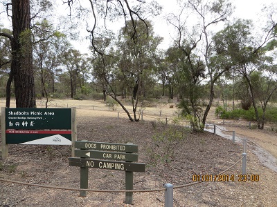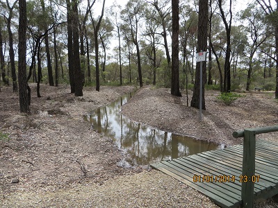
In Kara Kara National Park
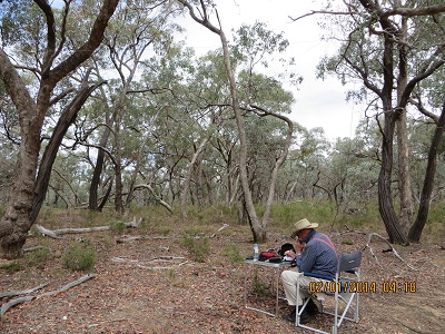
Kara Kara National Park was accessed via the Sunraysia Highway, Boundary Road and then a track, probably originally a fire break along the side of the Park. We drove into the Park about 500 metres. A convenient tree provide a point for mounting the centre of the dipole and it wasn’t long before I was in business!
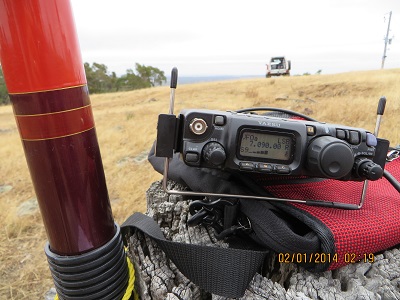
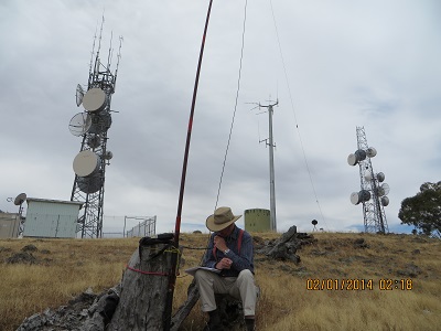
Eleven contacts were had from Kara Kara NP beginning at UTC 04:17: VK5LY, Larry; VK5GJ, Greg; VK3MCD/p, Brian in Mount Kosciuszko National Park on Granite Mountain, VK2 SW 015; VK5AS, Paul; VK3DET, Ernie; VK5JW, Jim; VK3AFW, Ron; VK5FDEC, Damien; VK3XPT/p, Perren portable in Devonport with his FT817; VK3MEG, Steve; VK5MBD, Bill from Red Hill.