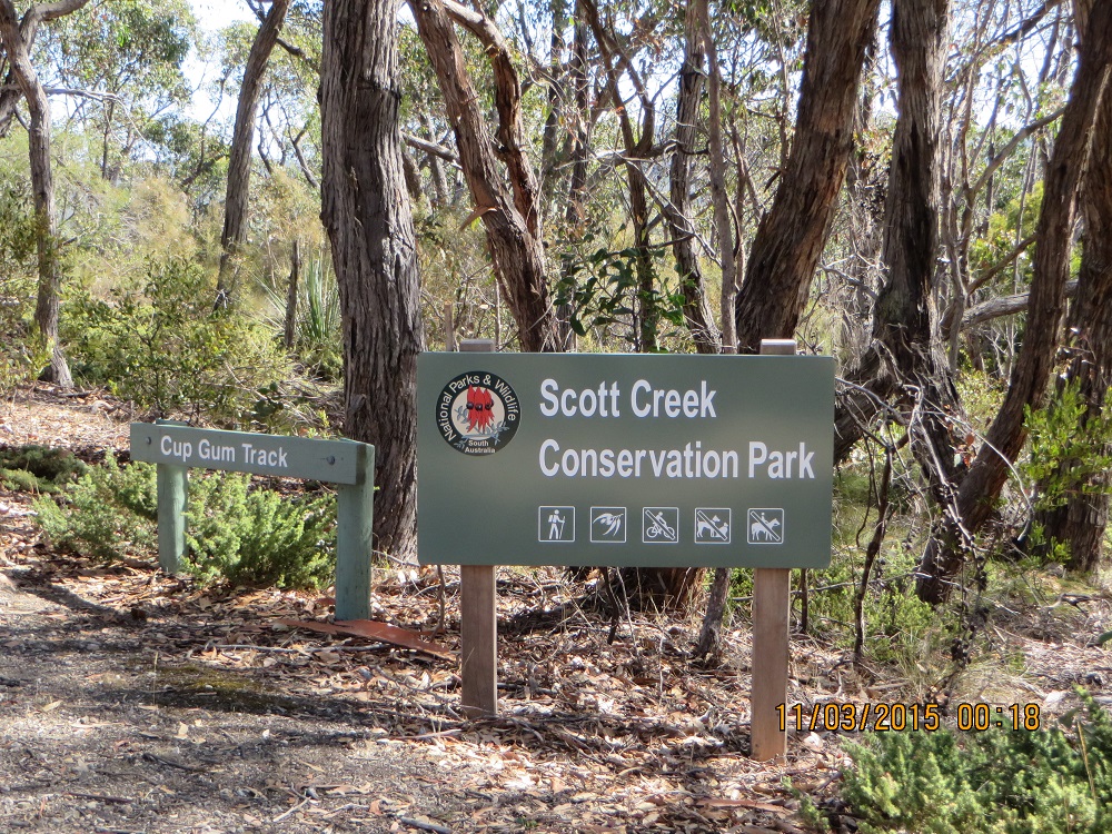
The Park
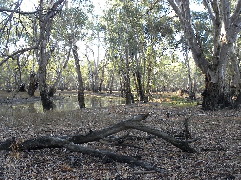
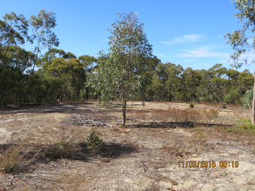
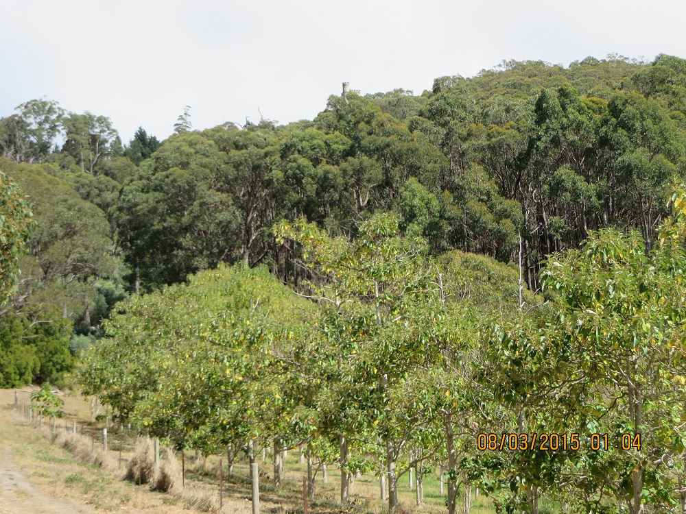
Ngarkat Conservation Park was proclaimed in 1979 and is one of the largest Mallee Parks in South Australia. It is 270,000 hectares of vegetated sand dunes mallee and heath. It was originally a pastoral lease in the 19th century.
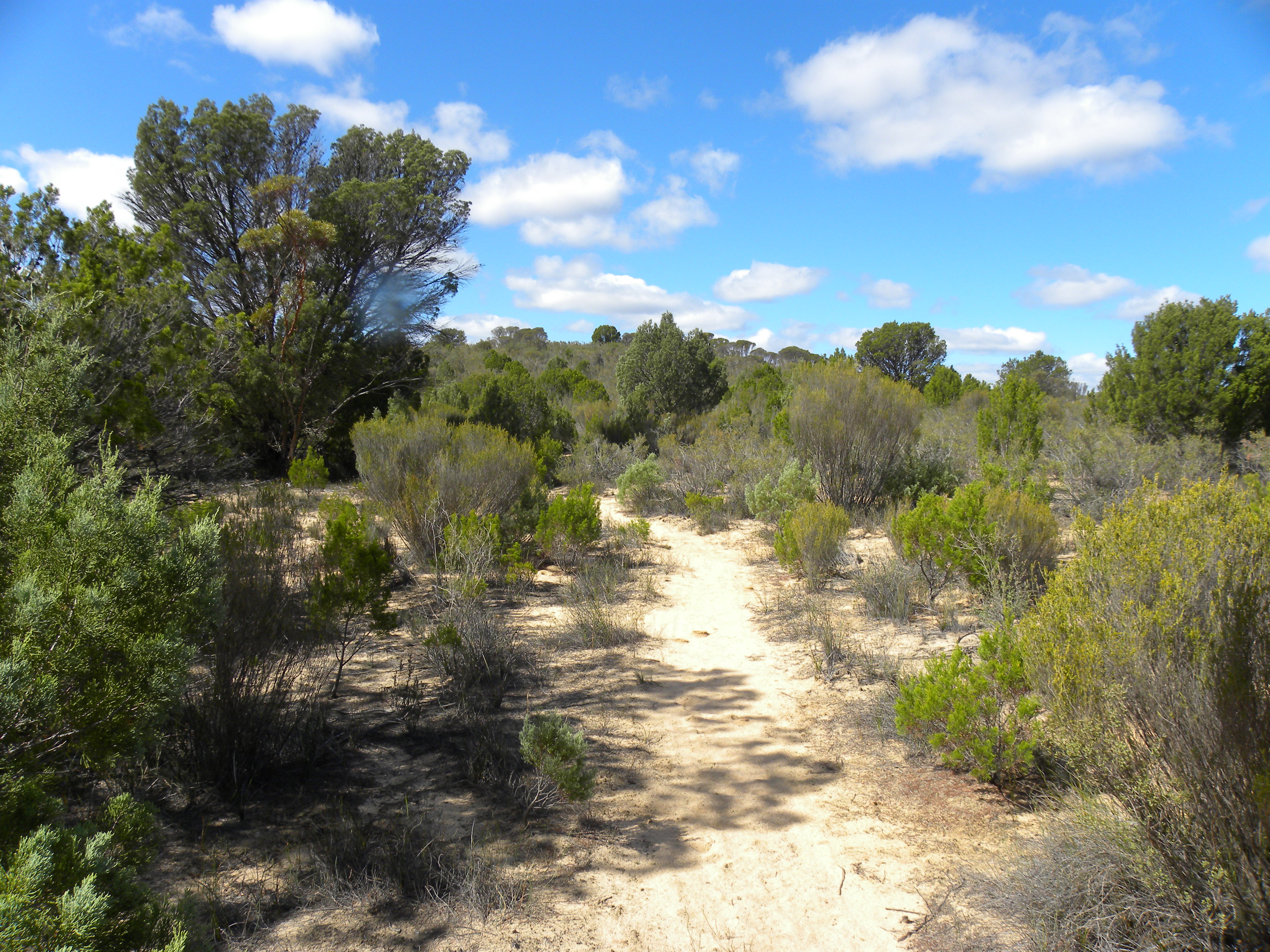
Ngarkat Conservation Park JCD Photo
Activation
Today, after some very small amount of persuasion from VK5PAS, Paul, I decided to detour to Ngarkat Conservation Park, VKFF-829, just south on Pinnaroo. After spending the night in Ouyen, Victoria, we made our way to the Victorian/South Australian border and just a few moments later arrived in Pinnaroo. It was a cool morning, but the sun was shining. I thought a coffee was in order. I was sitting in the bakery (no I was not eating cream buns) quietly enjoying my coffee. Suddenly my phone almost jumped off the table! I received a text message from Paul. He was asking whether I was considering a further activation. I wasn’t all that keen. I texted back and said I could be persuaded. That was enough. Paul phoned me back. We were laughing and talking and I thought I might be arrested for disturbing the peace in the bakery. I do, after all, have a substantial voice! However, I survived!
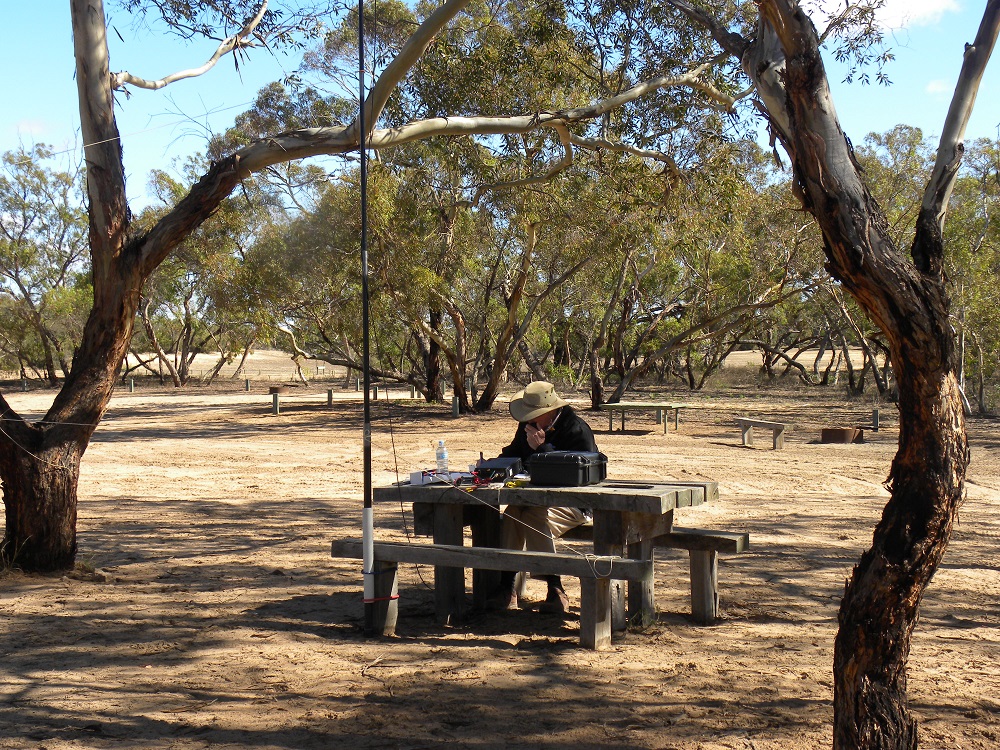
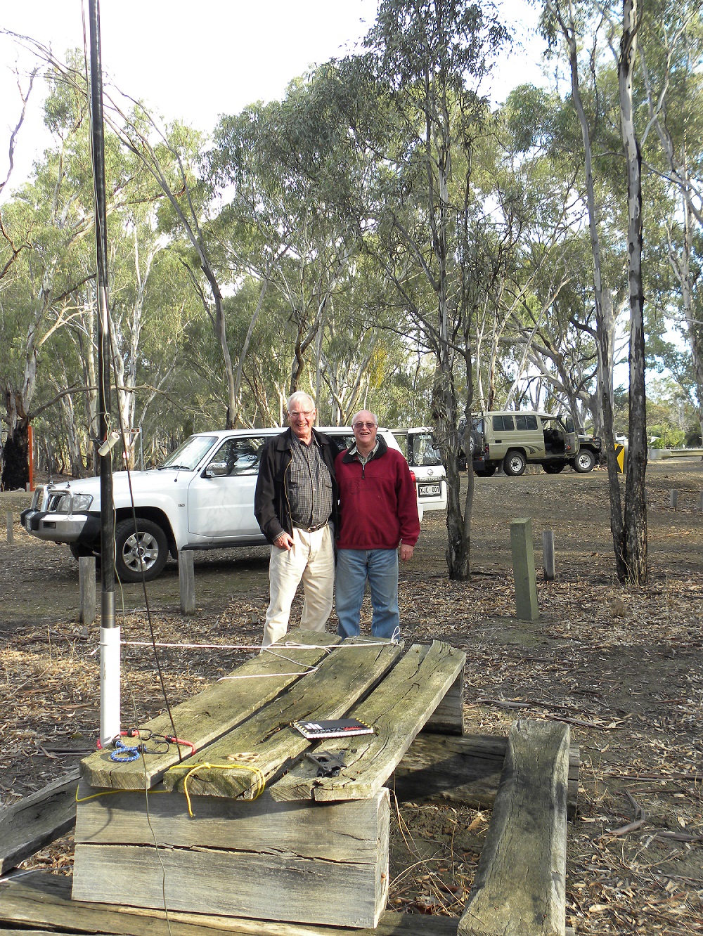
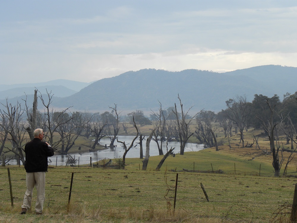
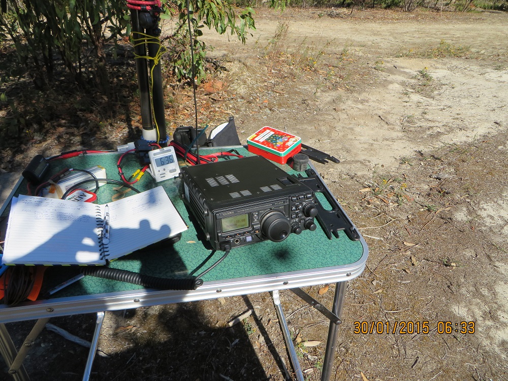
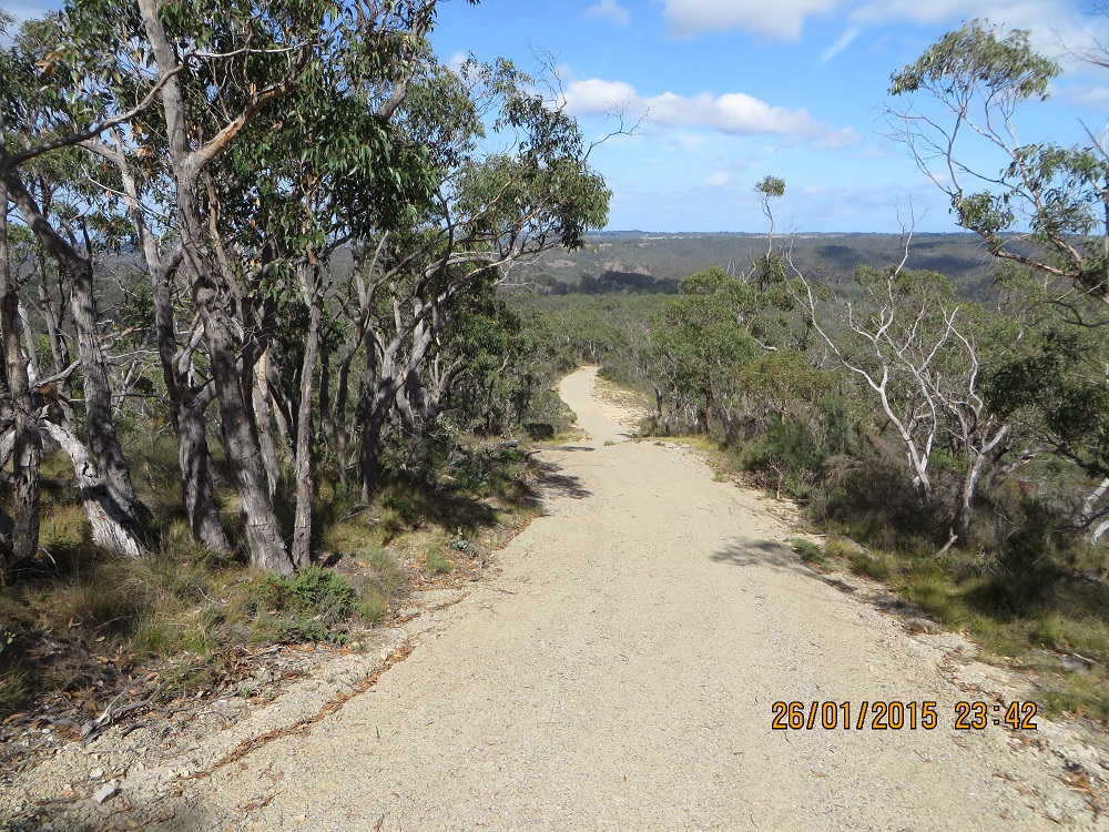
VK5BJE at Ngarkat CP
JCD Photo
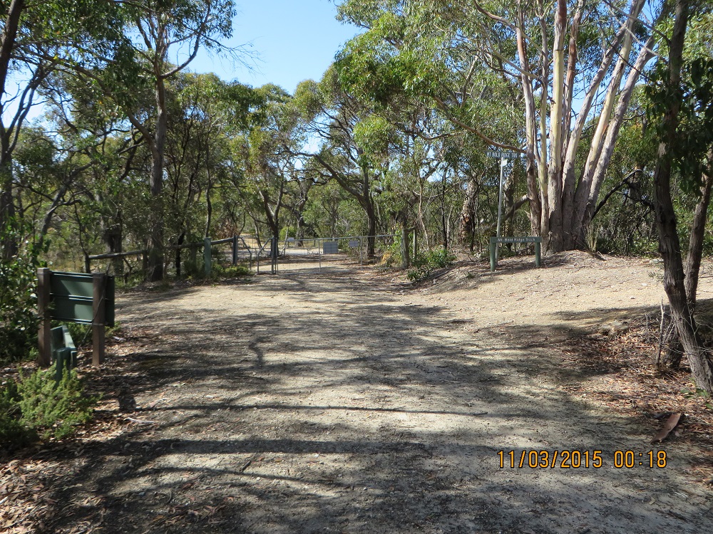
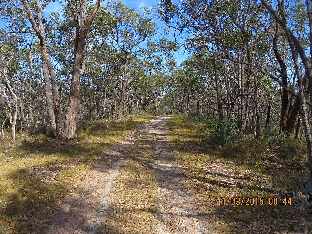
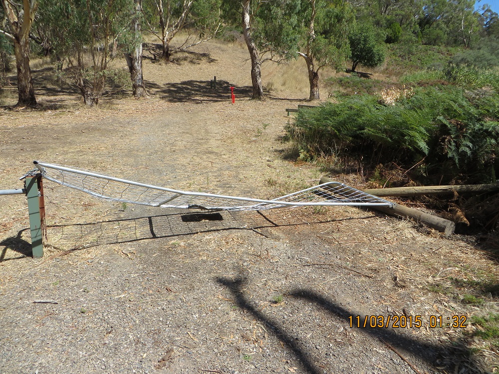
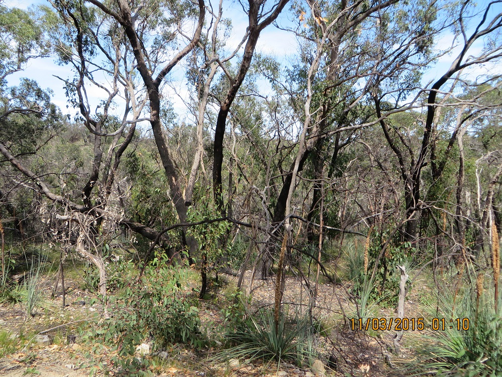
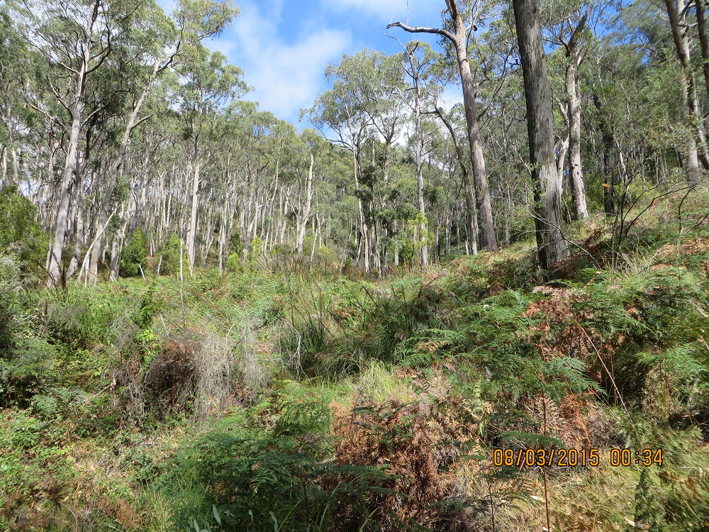
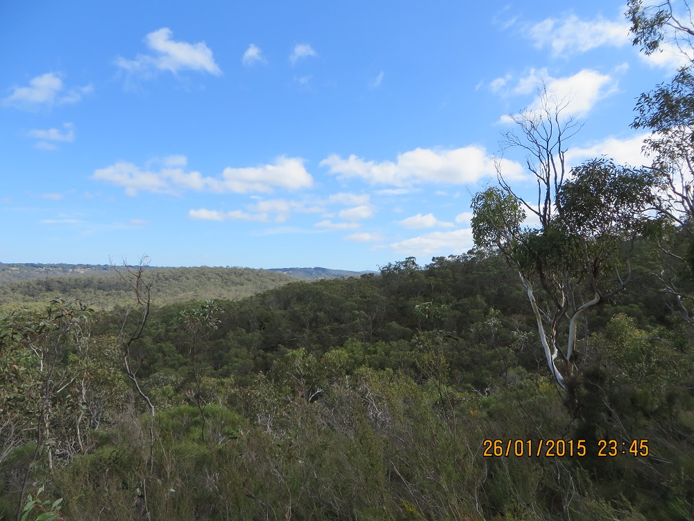
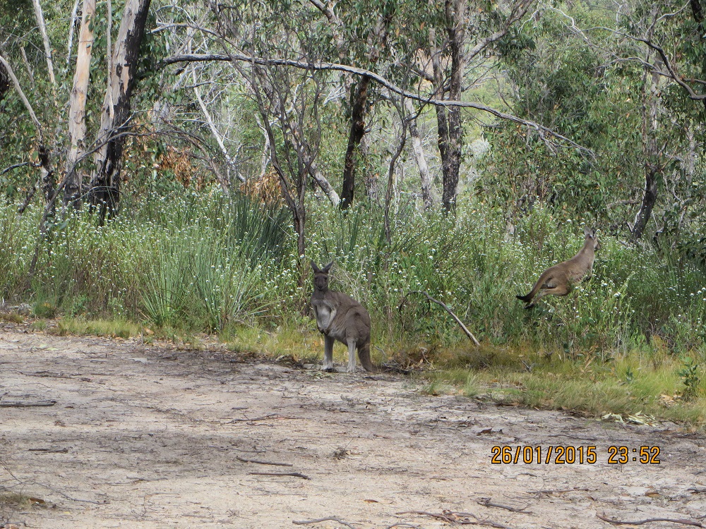
After coffee we left Pinnaroo and soon were tracking down Rosy Pine Road towards the Park. We thought we would enter the Park at Pine Hut Soak, where there is a camp ground. The place was deserted. And it was just beautiful: typical Mallee country, sand, little understory but well-developed Mallee scrub. The camp is at the start of the famous Border Track. I had not driven this track, which despite the rain, was open. It would be foolhardy to be tempted with just a single vehicle.
I was on the air on 40 metres at 01:44 and my last contact was at 02:54. In just over an hour I enjoyed 28 contacts. I have sufficient investment in the Park to return to build up my contacts 44.
References
Finally, for those interested in the Mallee Parks of Victoria and South Australia you might find this publication of interest.
Nicholls, G. & Angel, A, n.d. circa post 2002, Mallee Tracks: A Wanderer’s Guide to the South Australian and Victorian Mallee, self-published, Pinnaroo.
My wife purchased her copy a few years ago and she saw an advertisement for the book at Pinnaroo so it is still available. An internet search might turn up some copies.
Another useful publication from our archives is:
Tracks of the Mallee, 2008, Department of Environment and Heritage, Government of South Australia
This publication provides many interesting details of all of the SA Mallee parks, including maps, tracks and historic sites. A more up to date version is available for download from the Department’s website.
Log
Here is my log in Fast Log Entry. This approach saves many, many keystrokes!
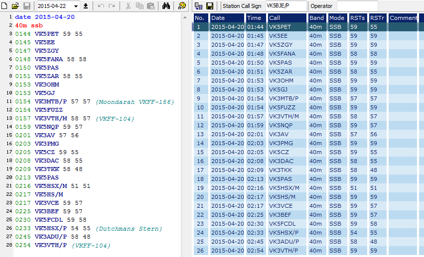
Ngarkat log
Fast Log Entry
Click log to expand.