
To make sense of this post you will need to read or re-read my post on Scott Conservation Park. Here is a link to that post:
Scott Conservation Park, VKFF-0934 & 5CP-206, 3rd & 5th March 2017
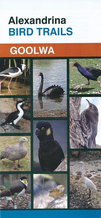
My objective was originally to activate the Coorong National Park near to the most westerly boundary. Those of you who watch Michael Portillo’s show on SBS, Great Railway Journeys, will know he used a Victorian era Guide Book called Bradshaw’s. My guide, on this occasion, was a brochure entitled Alexandrina Bird Trails published by the Alexandrina Council. The fold out brochure is pictured below and it is excellent and certainly not from the Victorian era!
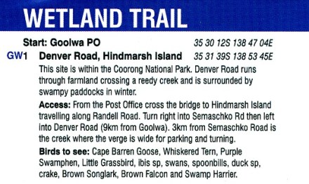
The particular trigger for our expedition is reproduced below and is called GW1.
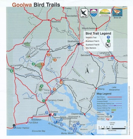
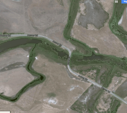
The map, also from the brochure shows a one (1) on Hindmarsh Island and Randell, Semaschko and Denver Roads are all clearly visible. You will also see that 1 is not near the Murray River but back a bit. The aerial photograph, courtesy of Google Maps, shows the location of the creek and the verges as described in the text above.
If you proceed further down Denver Road you come to a gated farming property. There were many signs either side of the gate and one indicated there was no river access. I decided at this point to turn around and not pursue our quest any further but travel to Scott Conservation Park for an activation. Despite the text in the brochure suggesting that the is within the Coorong National Park, I was not convinced. I checked out the coordinates suggested in the brochure and Google Maps placed the spot at Sugars Beach at 2.
The first photo below shows a typical park sign in the River at Beacon 19 from the boat ramp. The land at Beacon 19 is on the Younghusband Peninsula and is not within the Park boundary. The second photo shows a view of Hindmarsh Island looking across the Coorong from the Younghusband Peninsula. There were no such signs on Denver Road near the wetlands.

Since our visit in early March I have undertaken further research on this matter. This link suggests that the ‘private property’ I came to is now owned by the State of South Australia.
http://www.environment.gov.au/land/nrs/case-studies/sa/coorong
The South Australian Government received a grant from the Commonwealth to purchase the property called Wyndgate, which will eventually will be added to the Coorong National Park.

Hi John,
We will have to head down to Lawari CP and do a joint activation.
73,
Paul VK5PAS.
Hi Paul,
That sounds like a great idea.
I see from the map that the water-line is the boundary between Lawari CP and the Coorong NP. I am glad they gave the park a new name and did not add it to the Coorong. I will also be interested to see what they do with the grazing land not incorporated into the new park. Thanks for the comment.
John D
VK5BJE/VK5PF